There is currently no threat of flooding in the Boundary Region, but snowpack and resin levels are being monitored for the coming summer to predict the severity of drought and wildfires.
The Regional District of Kootenay Boundary was busy last week trying to calm fears of flooding after incorrect information circulated around social media sites.
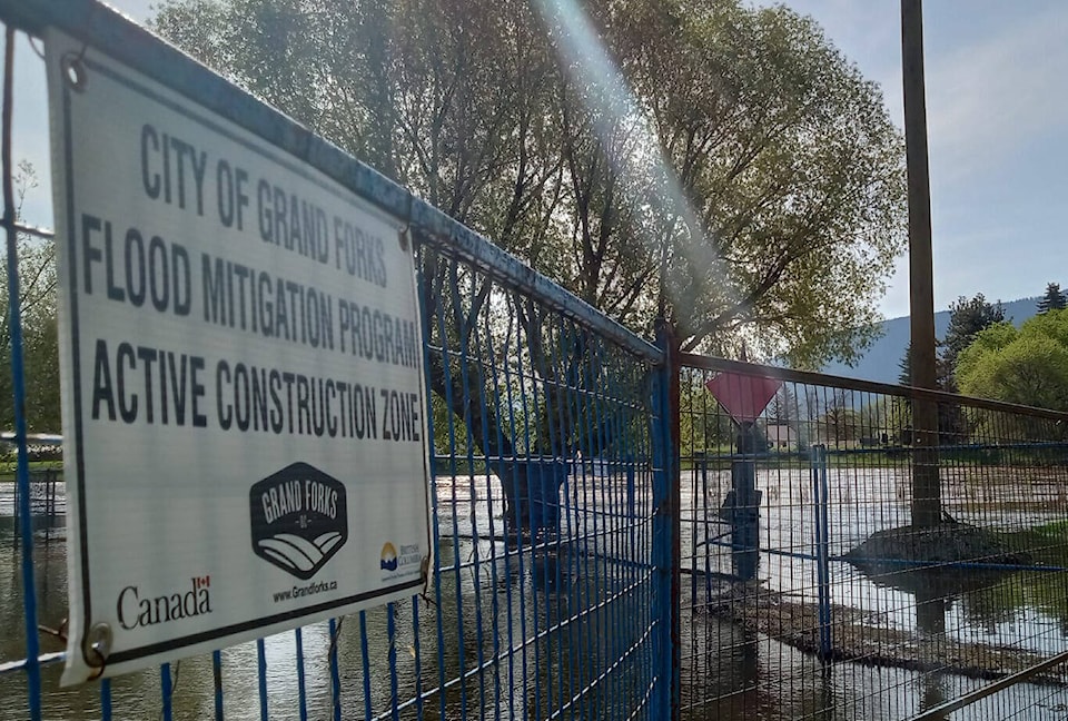
Rain and rapidly melting snow has caused river levels to rise and some water pooling, but manager of emergency programs Mark Stephens said there is no danger of flooding at this time.
“We had a couple posts we had to get ahead of and let everyone know we are monitoring the situation and there is no flooding threat at this time,” he said. “Our emergency program continually monitors rivers and streams as well as the snowpack. We compare that data with our flood response plan and the streams are forecast to be nowhere near a one-year return level. There is really no issue or risk of flooding.”
The snowpack is also monitored to predict what the spring freshet and wildfire season will look like. The snowpack at the Grano Creek Snow Pillow Station was sitting at 72 per cent of normal as of Jan. 31, said Stephens. While lower than average, Stephens explained it’s early and that can change quickly.
As an example, he pointed out the levels increased rapidly within the past two weeks with the recent snowfall.
“That’s why it’s really too early to tell right now what the freshet season might look like, and what kind of a wildfire season we could have,” he said.
He added the region has around two more months of cold temperatures and chances for snowstorms, which will also add to the snowpack. On a positive note, he said the rain and meltwater is seeping into the aquifer, recharging the area’s water supply. That will have a positive effect on the region’s ongoing drought situation, but again it’s too early too tell if it will downgrade or completely wipe out drought levels.
The ongoing rain isn’t having much of an impact on higher elevation snow, either, Stephens explained. The deeper snow and colder temperatures means the snowpack can absorb the rain with little melt.
The province is also monitoring the rain and snowpack, with concern it’s below average. A statement from the Ministry of Water, Land and Resource Stewardship read across the province, the snowpack generally continues to be lower than average. Historically, by Feb. 1, the mountain snow levels should be at two-thirds of accumulated seasonal snow. With that said, the statement stressed there is still two months left for snow accumulation to potentially occur.
There are variables being considered, however, including El Nino weather patterns creating warmer than average temperatures, with more rain than snow.
The province is constantly monitoring conditions to predict drought and wildfire, the statement read. The province has been working with First Nations, local governments and water purveyors on drought response. The BC Drought and Water Scarcity Response Plan was updated and is being reviewed for the 2024 season.
The impact of drought is in increased wildfire activity, which is why last summer the province gave drought updates along with wildfire updates.
As the province did last summer, it will be working with communities in the province affected by drought to offer support as they put restrictions and plans in place in case of water shortages. Communications will be sent out to water licensees in drought-prone watersheds whenever conditions worsen to help encourage water conservation.